An international research team is launching the “Coral Cartography” project. The aim is to comprehensively map cold-water corals in the Atlantic for the first time. Bielefeld University is contributing its expertise in bioinformatics and artificial intelligence (AI).
“We are developing AI methods that automatically analyze large volumes of marine imagery and reliably detect coral structures,” says Prof. Dr.-Ing. Tim W. Nattkemper from the Faculty of Technology at Bielefeld University. “This allows us to systematically evaluate previously unused image archives and gain new insights into threatened habitats.”
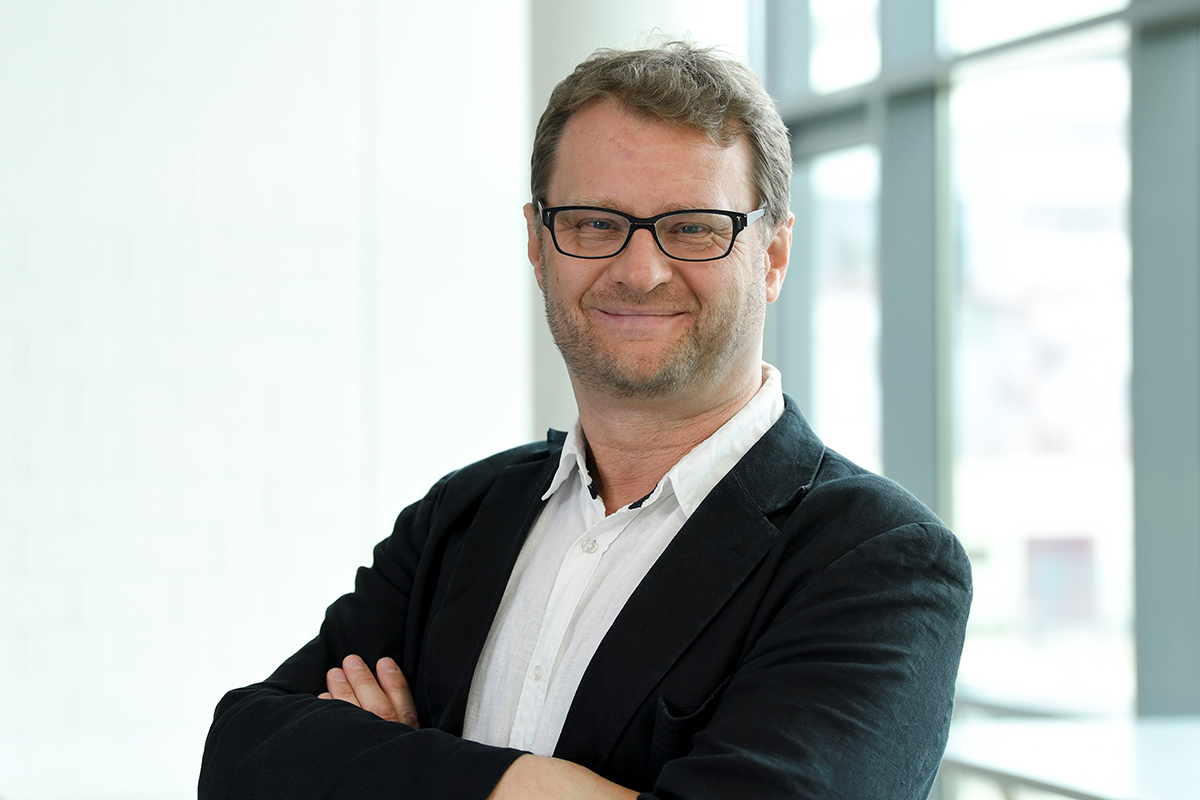
© Bielefeld University/Susanne Freitag
Cold-water corals live at depths of several hundred to several thousand meters. Unlike tropical corals, they do not require sunlight. They form complex habitats for numerous species but are increasingly threatened by fishing, deep-sea mining, and climate change. While the North Atlantic has been relatively well studied, comprehensive data for the Central and South Atlantic are still lacking.
AI closes data gaps in the Atlantic
This is where the project comes in. The researchers are consolidating existing image data that have not yet been fully analyzed — including material from off the coast of West Africa — and supplementing them with new recordings, for example from waters off Brazil. On this basis, they are creating a standardized dataset on coral distribution and density.
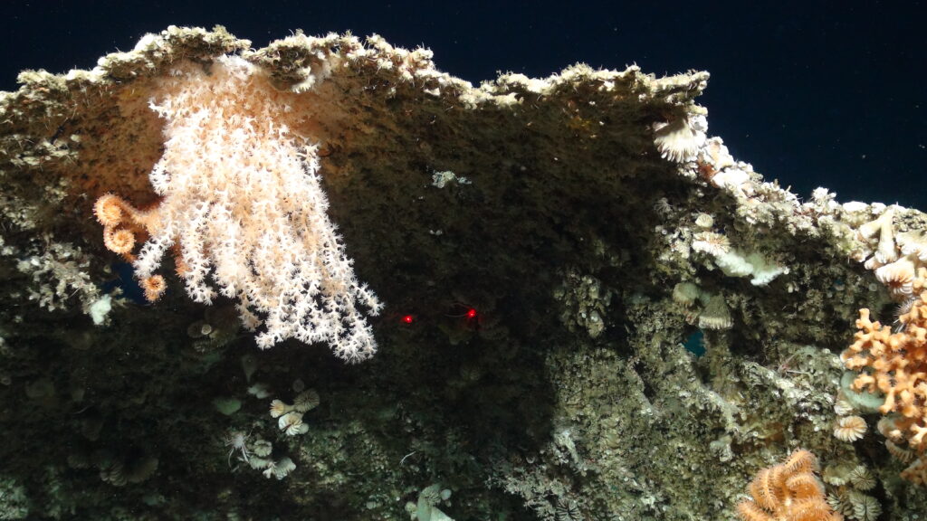
© NERC funded Deep Links project, University of Plymouth, UK
The team uses these data to train machine learning models. Machine learning is a subfield of AI in which algorithms identify patterns in example data and make predictions. This approach enables assessments of likely coral occurrences even in poorly explored marine regions.
The resulting maps are intended to support political decision-makers in designating protected areas — both within national exclusive economic zones and on the high seas. The findings will feed into international bodies such as fisheries organizations and the International Seabed Authority.
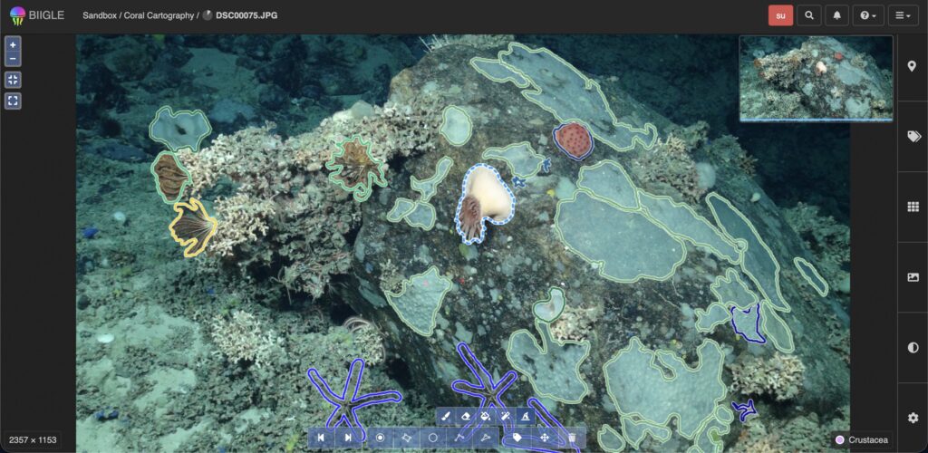
© NERC funded Deep Links project, University of Plymouth, UK
The project is led by Plymouth Marine Laboratory (United Kingdom) and funded by the G20 initiative CORDAP. A total of 12 partners from nine countries are involved. Bielefeld University plays a key role in AI-based image analysis, thereby strengthening international marine research from the Ostwestfalen region.
Efficiently analyse large volumes of underwater video data
In a recently published paper, Professor Nattkemper has already presented a new method for efficiently monitoring the condition of cold-water coral reefs. To achieve this, the researchers combined large amounts of underwater video data with artificial intelligence that automatically recognises corals and other organisms. This was supplemented by the online tool BIIGLE, which is used for the visual analysis of the data. The approach is intended to replace the previously very labour-intensive manual analysis and enable faster, continuous monitoring of these sensitive ecosystems.